Thanksgiving closure November 27-28

Santa Ana City Hall and some City facilities will be closed and there will be no street sweeping on Thursday, November 27, and Friday, November 28. Learn more.  

Geographic Information Systems

The Geographic Information System (GIS) Section of the Information Technology Department manages the City's GIS Enterprise Database and provides GIS data, maps and other geospatial content and solutions related to information technology, infrastructure, property and asset management. For questions or inquires regarding GIS at the City of Santa Ana please contact gis at santa-ana dot org for more information.

The City has created various GIS web applications that highlight a wide variety of topics. You can view current development projects or even view the status of current construction projects.

In the spirit of transparency, openness, and compliance with State Law, the GIS section provides public access to a variety of spatial data.

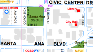
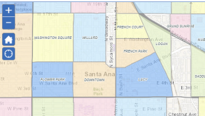
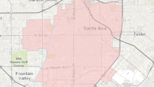
The Map Catalog provides centralized access to commonly requested maps created by the GIS section. Maps are available to download in PDF format.

Close window